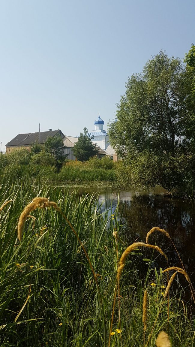
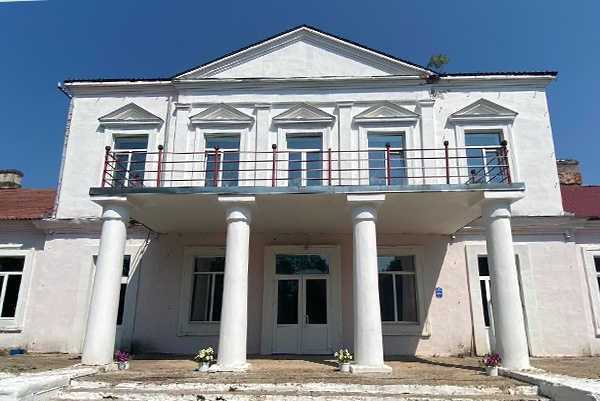
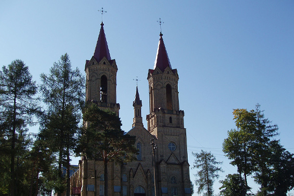
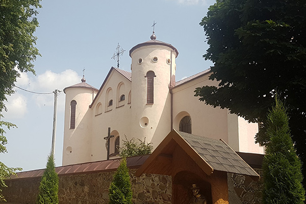
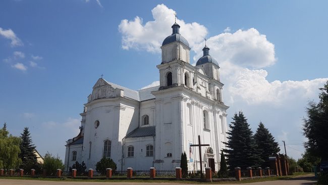
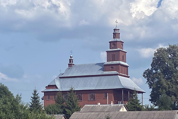
Свір

Svir

Location: Old Svir was founded by tribes of Hatched Pottery culture (Indo-Europeans: Balts) on a mountain in the centre of the modern town, near Lake Svir. The lake is connected by channels with Viliya and Neman. From the northern side of the lake and through Zasvir there was a land route for transshipment of goods…

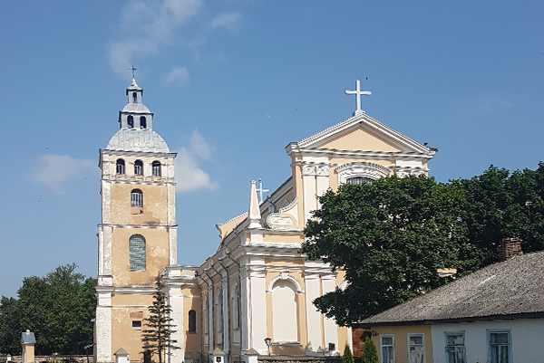
Plisa

Plisa

Location: Plisa was an important point on the ancient Way of Algirdas. The distance from Plisa to Vilnius is 194 km, to Polatsk – 65 km. In addition, Plisa is connected by land with Dzisna (54 km). Thus, transport communication between Vilnius and Polatsk through Hlybokaye in Skaryna’s times could be carried out in two…

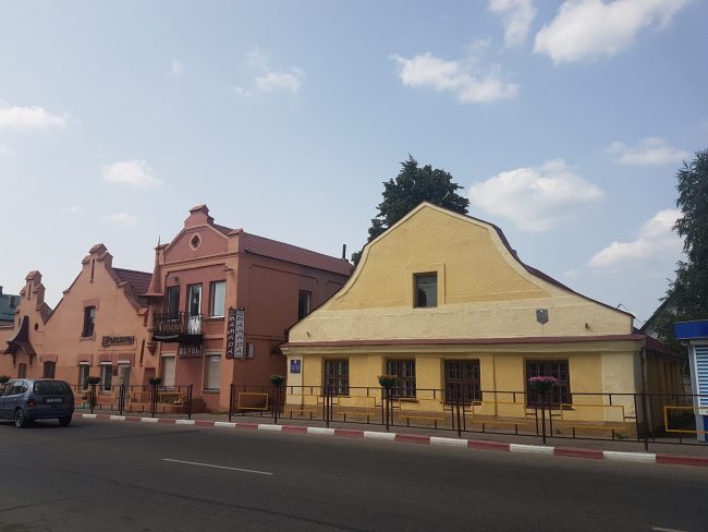
Central Square, Pastavy

Pastavy

Location: “Following the Stefan Batory Way. Pastavy at the crossroads of cultures” – this is how the local historian Iosif Zyamchonak called his book about the history of the city. Indeed, the decision to establish a city in this location was because the land route from Vilnius to Polatsk was strategically important during the military…

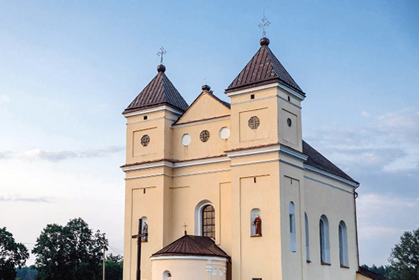
Church of St. Michael, Michalishki

Michalishki

Location: The development of the town (Pol. “miasteczkа”) was associated with a convenient location on the route from Vilnius to Polatsk, just near the crossing over the river Viliya. This path was used by King Stefan Batory during a military expedition to Polatsk in 1581. Later, gunpowder and provisions from Kaunas were delivered to Michalishki…

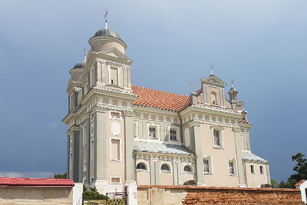
St. Jude the Apostle Church, Luchay

Luchay

Location: Luchay is located not far from the ancient Polatsk road, practically at the same distance from Polatsk and Vilnius. At the end of the 18th century, the Ogiński family built a tavern in Luchay, near the road from Dunilavichy to Pastavy. Archaeologist Leonid Alyekseew described the road from Luchay to Pastavy in the following…

Manor, Luzhki

Luzhki

Location: Luzhki is located at a distance of 19 km from the historic Way of Algirdas, on the road that connects this path with Dzisna (19 km to Plisa, 37 km to Dzisna). The distance to Polatsk is 75 km (via Dzisna), and 204 km to Vilnius. Thus, transport communication between Vilnius and Polatsk through…

Касцёл Іаана Хрысціцеля, Lavorishkes

Lavorishkes

Location: Lavorishkes village (Lith. Lavoriškės) is located 8 km from the border with Belarus, on the highway Vilnius–Polatsk. There is an international border crossing “Lavorishkes” from the Lithuanian side and “Katlowka” from the Belarusian side. Historians claim that people settled in this area the year dot. It is known that a fortified settlement was established…

Church of Saint John the Baptist, Kamai

Kamai

Location: Kamai has located 163 km from Polatsk and 115 km from Vilnius, at the intersection of the roads Pastavy–Lyntupy and Narach–Gaidutsishki. Kamai in Skaryna’s times In the first half of the 15th century, Kamai belonged to the family Pronskiya, Ryazan boyars from the Tsardom of Muscovy, who came to serve the Lithuanian Grand Duke…

Holy Trinity church, Dunilavichy

Dunilavichy

Location: Dunilavichy is located on the so-called “Batory Way” from Polatsk to Vilnius, about the same distance between Hlybokaye and Pastavy. In 1784, the roads from Dunilavichy were as described: “The road from Dunilavichy to Pastavy is smooth, good, sometimes planted with trees. The road from Dunilavichy to Hlybokaye, however, is broken and unfavourable”. Dunilavichy…

Church of Saints Peter and Paul, Drysvyaty

Drysvyaty

Location: The representatives of the Dnieper-Dzvina culture founded the settlement on the channels and portages of the Braslaw lakes between the Dzvina and the Neman sometime at the turn of our era. From the time of the Polatsk principality and up to the 18th century, the castle and the main part of the town were…